Whether you're in a new territory or simply have a horrible sense of direction, you'll never be lost again with these map apps that you can use on your smartwatch.
Navigating an unfamiliar city, or even your own city if you are bad with directions, has never been easier thanks to technology. When you have a map app on your smartwatch, you can almost guarantee you won’t ever get lost. With so many different maps and navigation apps for smartwatches, you will always find your way, whether that is navigating public transportation in a big city, hiking in the great outdoors, or even just trying to remember where you parked your car. Never be lost again.
Contents
Free Map Apps for Smartwatches
Citymapper
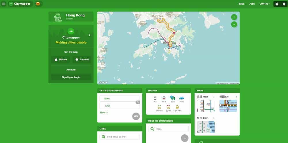
Citymapper is a must-have map app for Android and iOS if you are using public transport in one of the cities it currently covers, or if you are planning on visiting the supported city. It was the Editors’ Choice for apps of the year and the single best app for finding your way in the city from The New York Times. While it isn’t currently a full-fledged navigation app, it is useful if you are traveling around the cities that it supports. It brings a lot of information about buses, the subway, trains, and ferries right to your wrist. It gives you detailed trip timing for public transit options, walking, and bicycling.
It allows you to create routes that will mix with different transportation types, such as a cab ride to a subway station. You can get alerts when your favorite lines are disrupted. There are offline maps for certain cities, such as the official NYC subway map and the Manhattan, Brooklyn, and Queens bus maps. Find real-time bike share availability for Citi Bike, Hubway, Breeze, Metro Bike Share, and Bay Area Bike Share. It even includes fare information for the NY transit and SF transit so you have all the information you need to make your travels a breeze. There is limited availability and it only works in about 30 cities worldwide. Departure times aren’t always 100% accurate so be sure that you double-check the information.
Google Maps
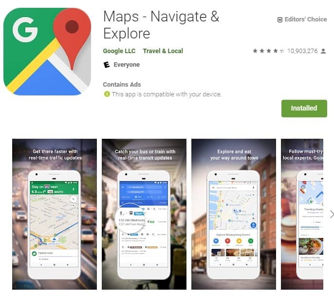
Google Maps is an easy sell for smartwatches. This is probably one of the most popular navigation apps. Google has photographed and mapped most of the globe and is constantly updating its database to add new roads and update the image on the street view portion. It is pretty simplistic when you compare it to the full smartphone app, but it makes it easy to orient yourself and find local points of interest, especially if you are walking around. It will allow you to drop a pin at your intended destination and launch full navigation on your phone as well. It’s reassuring to check on your location with just a glance, especially if you are somewhere unfamiliar and you don’t want to just be glued to your phone screen.
It can also give you turn-by-turn direction, along with time estimates if you tap on the location you want and then tap the option at the bottom of the screen. There is an offline mode so you can save maps you need for later without having to use your data. Once you reach your destination, you can get recommended places to drink, eat, or stay based on your needs. There are offline maps to help you search and navigate even if you don’t have an Internet connection. The indoor imagery and street view help you find restaurants, museums, shops, and more. Indoor maps can help you find your way inside large places, such as stadiums, airports, and malls.
Apple Maps
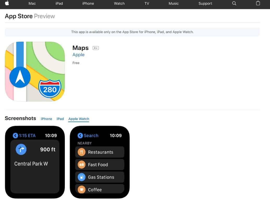
This is your default option on an iOS device but it doesn’t give you a subpar experience. The app gives you all the basic navigation features you would expect. However, it also expands by giving you travel suggestions based on your previous activity or even based on events currently in your calendar. It will display all the nearest bars and restaurants based on your searches or you can use the “nearby” commands to find some hidden gems.
When you are on the move, it helps you know which lane you are supposed to be in when driving and it suggests your stop if you are currently using public transport. With Apple Maps on your Apple Watch, you get vibrations so you know when you should turn. This can make it much easier to not get lost. You are able to book appointments from the app on services such as Lyft, Uber, or OpenTable. It’s a great all-in-one choice for a map app but it is only available on the Apple Watch.
HERE WeGo
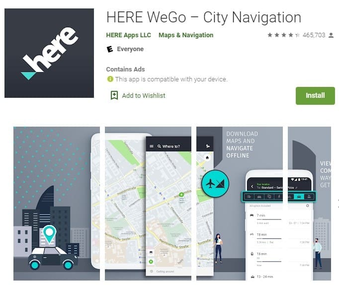
If you think that Google Maps is too awkward to use for your Gear S3 smartwatch then you can install HERE WeGo. It is handy and you can save your route to use it later. You have plenty of options when you use this app. If you are running late, you don’t have to worry since it shows you options on how to get to your designation quicker and what route is best for you. The app also gives you information that you can use before you go. It tells you the easiest route to take, the bus and subway fares, and the current traffic situation. There are also offline maps that can be downloaded for free so it’s recommended for those who are going on international travel and will have limited access to data.
Glympse
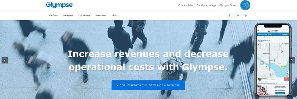
Glympse is useful and has a simple interface. The app makes everything easier for you. You are able to share and request a location through the app, which makes it one of the best navigation apps you can have for the Samsung Gear 3. You get to share your real-time location with your family and friends with the app. You can even make a group on the app to monitor your family members on where they are. You don’t have to worry about sharing your current location and it automatically expires.
If you want your family members and friends to know where you are, it’s easy for them and there are no apps required for them to check in on you. The application runs on the device in the background. It works perfectly, as long as you have a data connection and GPS is enabled. It’s great to have when you go out with your friends to let your family know you are safe or when you are on the open road alone. If there is an emergency, you can direct emergency personnel to your location or call for roadside assistance.
myPlaces
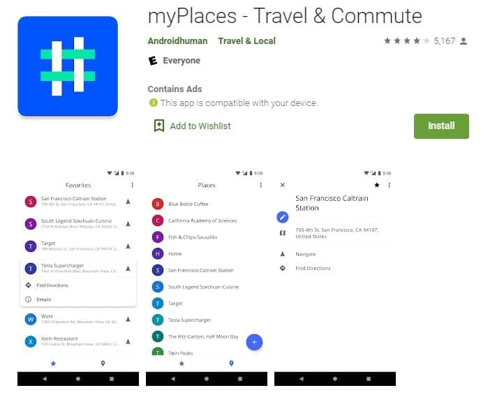
myPlace allows you to save a list of the locations you want to visit during your trips. It’s the perfect travel companion. You can easily save the place you want to go over your holiday and save as many locations as you want. It gives you the direction to the desired destination and it also integrates with the maps application of your choice. Save some of the hassle of vacation planning with this app.
Komoot
Komoot isn’t a navigation app that’s only for drivers. It’s designed for anyone who is looking for an outdoor adventure, whether that is a hiking, backpacking, road cycling, or mountain biking. Komoot will help you create an outdoor experience with the planning too and then when you are ready, turn on the turn-by-turn navigation and offline maps to help keep your adventure on track. Koomot will generate sport-specific topographic routing to give you the freedom to choose how you want to navigate. When you are finished, you can save your route and then share the experience with your friends.
This app was specifically designed for Samsung Galaxy or Gear smartwatches. This navigation app helps suggest the fastest and safest roadways that it has on either map view, street view, or street view direction for your entered destination. If you get out of the route then the app will connect you to another straight road. It helps connect you to the right mapped roads. In addition to helping you navigate, it shows you the covered distance, the distance you have remaining, and your arrival timing. This app is great for night traveling because it has a great night mode option. If you search for a place then the app will also tell you some historical information about the location. Not only will you get to where you need to go but you will also learn some things along the way.
The City Navigator app for Samsung Galaxy smartwatches is a turn-by-turn city navigation app. It has an offline map feature as well. This feature allows you to save your downloaded route maps for up to 30 days. There are four route modes given so that you can find any transportation route easily. It also can give you route script view and POI details such as ratings, timing, and distance. You are able to search for destinations by giving voice commands and the turn-by-turn navigation is useful if you are in an unfamiliar location.
Viewranger
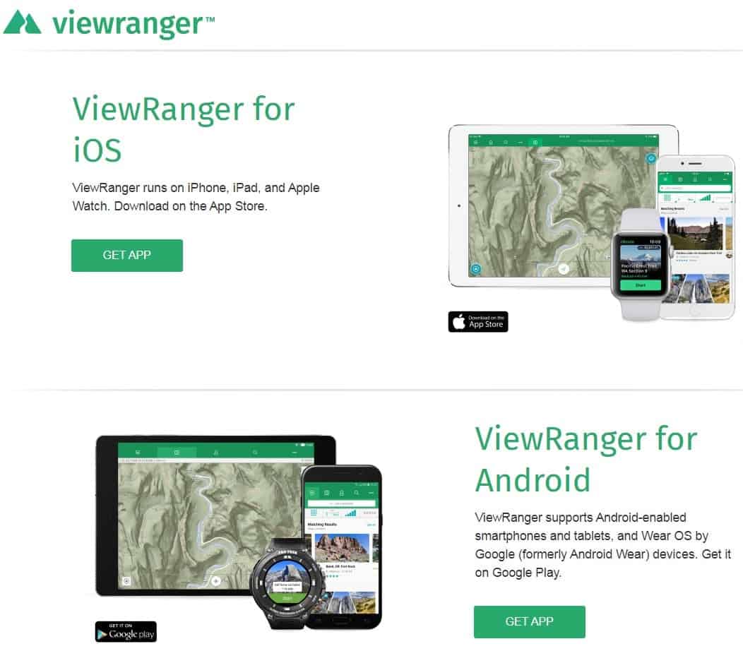
Dealing with a phone while biking, skiing, or climbing is frustrating but phones usually serve as a backup for outdoor adventures and navigation. With the Viewranger app, you can download maps for offline use before you hit the trail. In a pinch, users can also open the downloaded map and use the GPS to find their location along with the route, even without cell service. It’s designed for both iOS and Android devices.
The app is able to find routes near your GPS location or you can search for specific places. You can find user-uploaded routes or routes from one of the publisher partners, such as local tourism boards. Once a trail is found you can select the type of map that is download to the watch. There are over 20 offline map types to choose from. You can sync the watch with the app and upload the map directly to the wrist. This helps you keep pace and stay on the proper trail. The watch has a vibration function that gives you guidance at trail intersections and marks various waypoints.
ParKing
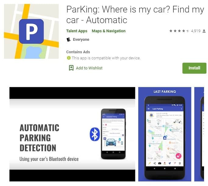
While not exactly a map app for everyday life, ParKing helps make it easier to take the hassle out of remembering where you parked your car. When you open the app on the watch, you just have to click the little car icon to go to where your car is. When it’s time to find the car, you can zoom in on Google Maps to view its exact location. You are able to save a new parking reminder on a map with just one click. You also get a history of your previous parking places if you are consistently parking in the same place.
It’s even easier to remember to utilize the app with automatic parking detection using your car’s Bluetooth setup. If you don’t want to remember that your car is parked at your home or office then there are user-defined zones with no automatic parking notifications. Avoid fines by getting parking time reminders. There are multiple navigation options to your car. You can also add a photo or text note to your parking for underground or indoor parking places to make it easier to remember what level your car is on. On the smartwatch, you can place a new parking reminder and easily navigate to your parking space and locate the vehicle.
Paid Map Apps for Smartwatches
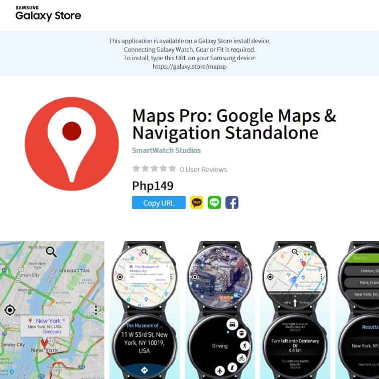
This is the power of Google Maps as a standalone for your Samsung watch. You can search for places and cities and get all the details. Get directions with all modes of transport, from flying to walking. You get turn-by-turn navigation with spoken instructions. Browse through all the steps that will get you to your destination. Use swipe and pinch gestures or the bezel to move the map. Long tap a point on the map in order to navigate there. See current traffic info and get support in all major languages.
Metro Maps
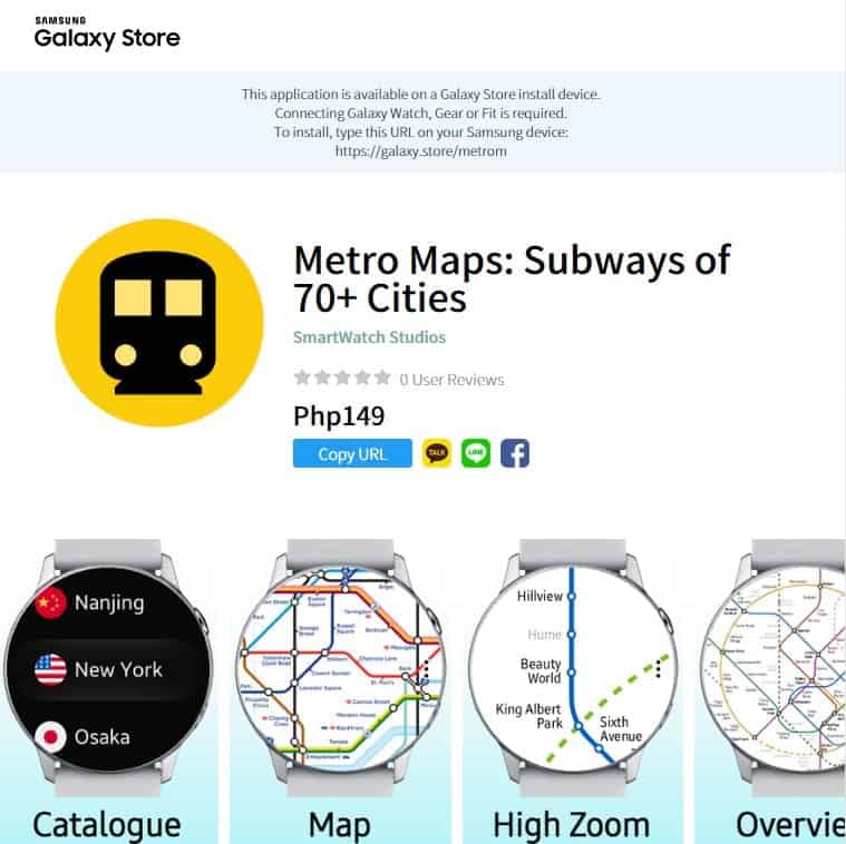
Metro Maps brings you subway maps on your Samsung watch to make your commute much easier. Never be perplexed by the subway again. It covers 70 major cities and most of the maps are vector graphics that can be magnified. Use the bezel or double-tap to zoom in. You can swipe to move the map and pinch gestures also work for zooming.
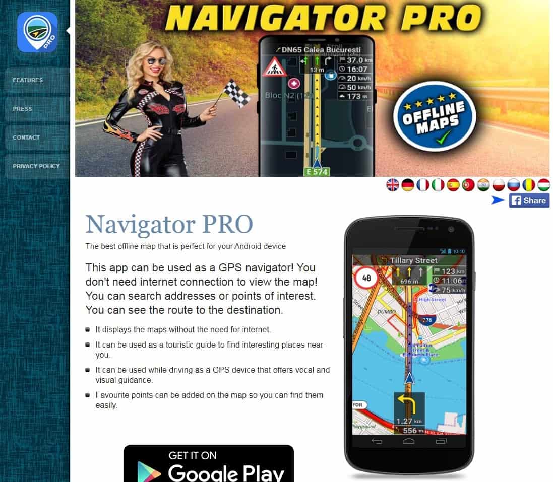
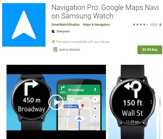
Navigation Pro is compatible with the Galaxy Watch, Gear S2, Gear S3, Gear Sport, and Gear S. It will give you a display on the watch for instructions or directions. It will automatically start navigation and has a vibration, voice output, and the option to display real-time updates.


